Border protection: seeing drones and crossings across long, remote frontiers
Long-range detection, on-the-move tracking and shared pictures for the air and ground threats that now work together at the border.
For: Federal, state and tribal border security agencies; port-of-entry and land-management operators
What the paper covers.
CBP detected 42,360 drone flights near U.S. borders in FY2025 and more than 37,000 in FY2026. Most are surveillance: watching patrols, scouting crossings and guiding people and loads.
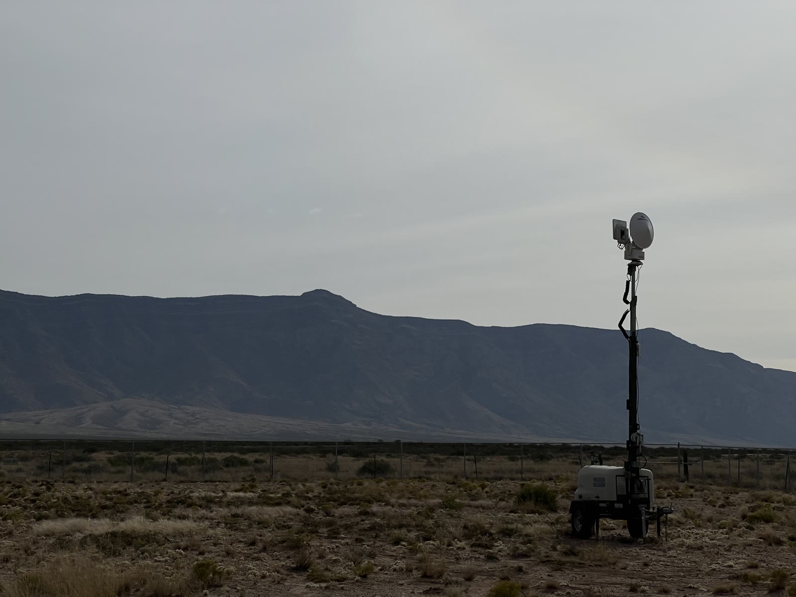
Border terrain is the hardest detection environment there is: long distances, rough ground, little power or network, and threats that combine a drone overhead with people on the ground.
Source: CBP statements to Cronkite News and Fox News, as reported by DroneXL (Oct 15, 2026).
Recommendations
- Detect air and ground together on one map
- Use mobile, self-powered nodes that self-calibrate and follow shifting routes
- Coordinate every defeat action with the FAA and share tracks across agencies
Request the full paper
Full white papers are shared with qualified organizations through the TKG Library. Request access, and once TKG approves it you will receive an email invitation to sign in.
Already approved? Open the TKG Library
Have a site in mind?
Send the site, the mission and what is already installed. A TKG engineer will respond.